
AirDron: Air Quality Monitoring with Drone Technology
AirDron and its users in environmental monitoring
AirDron is a drone-based air quality monitoring system designed to collect, analyze, and visualize environmental data in real time. It is used by public institutions, research organizations, emergency services, and private companies to assess air pollution levels and respond to environmental risks more effectively.
By combining mobile hardware with analytical software, the system enables measurement in locations that are difficult or unsafe to access using traditional methods.
Why stationary sensors miss fires and local pollution events
Monitoring air quality in dynamic and often unpredictable environments requires more than stationary measurement systems.
Traditional approaches struggle to provide timely and location-specific data, especially in situations such as fires, industrial incidents, or localized pollution events.
At the same time, building a reliable mobile system introduces additional complexity, as it requires integrating multiple sensor types, ensuring accurate calibration, and maintaining stable data transmission during flight. The system also needs to deliver results in real time, enabling immediate interpretation and response in the field.
Requirements for in-flight multi-sensor air measurement
To address these challenges, the system needed to:
- collect air quality data in real time during flight
- integrate multiple sensor types within a single platform
- ensure measurement accuracy through calibration and validation
- support stable communication between drone and ground systems
- provide immediate access to results for operators
The goal was to create a flexible and reliable platform capable of supporting both routine monitoring and emergency scenarios.
Drone platform with multi-sensor air quality measurement
A comprehensive drone-based measurement platform was developed, combining advanced sensing technologies with real-time data processing and visualization capabilities. Instead of relying on a single measurement method, the system integrates multiple sensor types to capture a broader and more accurate picture of air quality.
The platform includes both airborne components and a ground control system, allowing operators to monitor conditions, analyze results, and respond to environmental changes as they occur. Combining hardware, embedded software, and user-facing applications, the system applies principles used in IoT monitoring and data solutions, connecting distributed sensors with centralized data processing and visualization.
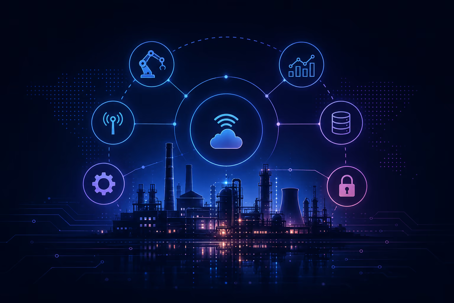
AirDron demonstrates how sensing devices, embedded firmware, communication protocols, and monitoring applications work together in a connected system. Our guide to industrial IoT architecture explains how these layers support reliable data collection, transmission, and analysis in industrial monitoring applications.
Technology stack:
- C# / .NET Core for application logic
- WPF for desktop interfaces (Ground Control Station)
- Angular for web-based components
- MS SQL / PostgreSQL for data storage
Core technologies:
- Electrochemical and gas sensors (VOC, TVOC, LEL)
- Optical particle counters
- Embedded firmware (bare-metal and RTOS)
- Communication protocols: ISM, GPS, USB, proprietary drone protocols
How in-flight sensor data reaches the ground station
The drone collects data using integrated sensors during flight, transmitting measurements in real time to a ground control station where results are visualized and analyzed. Operators can monitor pollution levels, detect anomalies, and set thresholds for alerts, enabling immediate response when conditions change.
At the same time, the system supports data logging and post-processing, allowing for deeper analysis and reporting. This combination of real-time insight and historical data enables both operational decision-making and long-term environmental assessment.
Key capabilities:
- Real-time air quality measurement during drone flight
- Monitoring of particulate matter (PM1, PM2.5, PM10)
- Detection of gases and chemical compounds (e.g. VOC, TVOC)
- Mobile measurements in hard-to-reach or hazardous areas
- Real-time chimney and emission analysis
- Alarm thresholds and anomaly detection
- Data logging and post-analysis capabilities
Real-time air quality data in hard-to-reach locations
The system enables organizations to monitor air quality in real time and in locations that were previously difficult to assess, improving both the speed and accuracy of environmental analysis. By providing immediate access to data, it supports faster decision-making in both routine monitoring and emergency situations.
At the same time, the integration of multiple measurement technologies within a single platform simplifies operations and reduces the need for separate systems.
Results: mobile air monitoring for routine and emergency use
The platform delivered improvements across key areas:
- Real-time environmental insights, supporting faster response
- Expanded monitoring capabilities, including mobile and hard-to-reach areas
- Improved measurement accuracy, through multi-sensor integration
- Support for emergency response, in crisis situations
- Reduced operational complexity, by consolidating measurement systems
- Scalable platform, adaptable to new use cases and markets
AirDron continues to evolve as new sensors, software capabilities, and drone integrations are introduced. The platform is being adapted for international markets and expanded to support new UAV systems, ensuring continued relevance in the rapidly growing field of environmental monitoring.
Frequently asked questions
Which sensors can a drone carry to measure air pollution during flight?
Electrochemical and gas sensors plus optical particle counters. Combining several sensor types gives a broader and more accurate picture of air quality than a single measurement method. In this project, InTechHouse integrated sensors for VOC, TVOC and LEL alongside optical particle counters measuring PM1, PM2.5 and PM10, all running on embedded firmware written for bare-metal and RTOS on the AirDron drone.
How does drone air quality data reach operators on the ground in real time?
The drone transmits measurements during flight to a Ground Control Station, where results are visualized and analyzed live. Operators can detect anomalies and set alarm thresholds, while data logging supports post-processing. In this project, InTechHouse built the AirDron Ground Control Station in C# / .NET Core with WPF, used ISM, GPS, USB and proprietary drone protocols, and stored data in MS SQL / PostgreSQL.
Can a drone-based air quality system support emergency response as well as routine monitoring?
Yes, AirDron was designed for both routine monitoring and emergency scenarios such as fires or industrial incidents. A drone can measure in locations that are difficult or unsafe to access with traditional methods. In this project, InTechHouse also added real-time chimney and emission analysis, and the AirDron platform is being adapted for international markets and new UAV systems.
We’ll review your goals, technical constraints, and opportunities to design a solution that fits your organization.
Planning an electronics, embedded, or FPGA project? Our engineers can help with hardware design, firmware, and testing - from first prototype to production.
Related Services
Other related case studies



Feasibility Study for Interprocessor Communication in Underwater Navigation System





Discuss your product with our R&D team
This initial conversation is focused on understanding your product, technical challenges, and constraints.
No sales pitch - just a practical discussion with experienced engineers.
Share a few details about your product and context. We’ll review the information and suggest the most appropriate next step.